
File:Nigeria (orthographic projection).svg

Size of this PNG preview of this SVG file: 553 × 553 pizel-dem. Oda kwoliti-dem: 240 × 240 pizel-dem | 480 × 480 pizel-dem | 768 × 768 pizel-dem | 1,024 × 1,024 pizel-dem | 2,048 × 2,048 pizel-dem.
Orijina file (SVG file, nominally 553 × 553 pixels, file size: 218 KB)
How evritin dey
| How e dey |
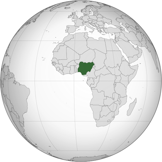
English: Orthographic map of Nigeria |
| Date | |
| Orijin | wok wey na for you |
| Pesin wey mek am | Ukabia |
| Other versions |
.svg) |
.svg)
.svg)
.svg)
.svg)
.svg)
.svg)
.svg)
.svg)
.svg)
.svg)
.svg)
.svg)
.svg)
.svg)
.svg)
.svg)
.svg)
.svg)
.svg)
.svg)
.svg)
.svg)
.svg)
.svg)
.svg)
.svg)
.svg)
.svg)
.svg)
.svg)
.svg)
.svg)
.svg)
.svg)
.svg)
.svg)
.svg)
.svg)
.svg)
.svg)
.svg)
.svg)
.svg)
.svg)
.svg)
.svg)
.svg)
.svg)
.svg)
.svg)
.svg)
.svg)
.svg)
.svg)
.svg)
.svg)
.svg)
.svg)
.svg)
.svg)
.svg)
.svg)
.svg)
.svg)
.svg)
.svg)
.svg)
.svg)
.svg)
.svg)
.svg)
.svg)
.svg)

.svg)

.svg)

.svg)
.svg)
.svg)
.svg)
.svg)
.svg)
.svg)


.svg)
.svg)
.svg)
.svg)
.svg)
.svg)
.svg)

.svg)
.svg)
.svg)
.svg)
.svg)
.svg)
.svg)
.svg)
.svg)

.svg)
.svg)
.svg)
.svg)
.svg)
.svg)
.svg)
_without_national_boundaries.svg)
.svg)
.svg)
.svg)
.svg)
.svg)
.svg)

.svg)
.svg)
.png)
.svg)
.svg)
.svg)
.svg)

.svg)
.svg)
.svg)
.svg)
.svg)
.svg)
.svg)
.svg)
.svg)
.svg)
.svg)

.svg)
.svg)
.svg)
.svg)
.svg)
.svg)
.svg)
.svg)
.svg)

.svg)
.svg)

.svg)
.svg)
.svg)
.svg)
.svg)
.svg)
.svg)
.svg)
.svg)
.svg)
.svg)
.svg)
.svg)
.svg)
.svg)
.svg)
.svg)
.svg)
.svg)
.svg)
.svg)
.svg)
.svg)
.svg)
.svg)
.svg)
.svg)
_-_Crimea_disputed.svg)
.svg)
.svg)
.svg)
.svg)
.svg)
.svg)
.svg)
.svg)
.svg)
.svg)
.svg)
_political.svg)
.svg)
.svg)
.svg)
.svg)
_-_Crimea_disputed_-_no_borders.svg)
.svg)
.svg)
.svg)
.svg)
.svg)
.svg)
.svg)
.svg)
.svg)
.svg)
.svg)

.svg)
.svg)
.svg)

.png)
.svg)
.svg)
.svg)
.svg)
.svg)
.svg)
.svg)
.svg)
.svg)
.svg)
.svg)
.svg)
.svg)
.svg)
.svg)
.svg)
.svg)
.svg)
.svg)
.svg)
.svg)
.svg)
.svg)
.svg)
.svg)
.svg)
.svg)
.svg)
.svg)
.svg)
.svg)
.svg)
.svg)
.svg)
.png)
.svg)
.svg)
.svg)
_(orthographic_projection).png)
.svg)
W3C-validity not checked.
Licensing
I, the copyright holder of this work, hereby publish it under the following licenses:
Dem license dis file onda di Creative Commons Attribution-Share Alike 3.0 Unported license.
- You dey free:
- to share – to kopi, distribut an transmit di wok
- to rimis-am – to adapt di wok
- Na for dis kondishon-dem:
- atribushon – Mek you give beta kredit, giv link for di license, an mek you show di chenj-dem wey you mek. You fit stil do am how you like am, but no do am like sey di pesin wey get di license gri mek you use am.
- share alike – If you rimis, transfom, or fom enitin ontop di matiria, mek sure sey you share tins wey you put onda di same or compatible license as di orijina.

|
You fit kopi, disribut an/abi chenj dis dokument onda di terms of the GNU Free Documentation License, Version 1.2 abi eni version wey dem poblish leta for di Free Software Foundation; with no Invariant Sections, no Front-Cover Texts, and no Back-Cover Texts. One Kopi of di license dey inside di section wey dem dey kol GNU Free Documentation License. |
You fit chuz di license wey you like
Tins wey don hapun for dis file
klik for eni date/time mek you see di file as e tek bi for dat time
| Date/Time | Smol smol imej | Damenshon-dem | Yuza | Koment | |
|---|---|---|---|---|---|
| di one wey dey nau | 00:52, 17 March 2015 | | 553 × 553 (218 KB) | Flappiefh | Removed Somaliland and Kosovo. Separated Western Sahara and Morroco. |
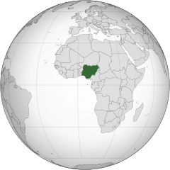
| 18:49, 30 July 2013 |  | 553 × 553 (217 KB) | Flappiefh | South Sudan added. Map made with gringer's Perlshaper tool. | |
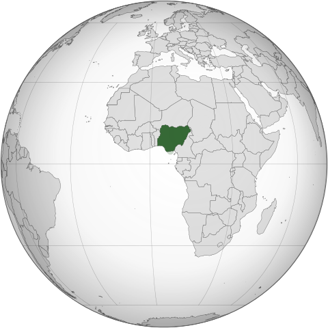
| 05:53, 1 July 2013 |  | 550 × 550 (183 KB) | Citypeek | Valid SVG now. | |
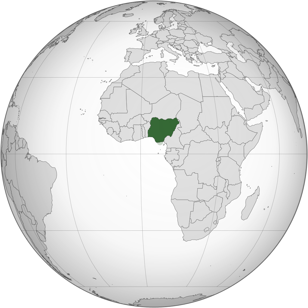
| 20:20, 20 February 2010 |  | 550 × 550 (144 KB) | Ukabia | Changed the grey globe to gradient (Please fix to match all other orthographic project gradients if you can) and removed transparency. | |
| 20:06, 20 February 2010 |  | 550 × 550 (144 KB) | Ukabia | Transparency removed | |
| 20:03, 20 February 2010 |  | 550 × 550 (143 KB) | Ukabia | Changed the grey globe to gradient (Please fix to match all other orthographic project gradients if you can) | |
| 19:27, 20 February 2010 |  | 550 × 550 (144 KB) | Ukabia | {{Information |Description={{en|1=Orthographic map of Africa}} |Source=*File:Africa_(orthographic_projection).svg |Date=2010-02-20 18:27 (UTC) |Author=*File:Africa_(orthographic_projection).svg: Martin23230 *derivative wor |
.svg)
How dem yuz di file
Pej-dem no dey wey dey yuz dis file.
How dem tek dey yuz dis file evriwie
Di oda wiki-dem dey yuz dis file:
- Dem yuz am for ady.wikipedia.org
- Dem yuz am for ami.wikipedia.org
- Dem yuz am for ar.wikipedia.org
- نيجيريا
- بوابة:العالم الإسلامي/دولة مختارة/54
- معاملة المثليين في نيجيريا
- مستخدم:جار الله/قائمة صور مقالات العلاقات الثنائية
- العلاقات الأمريكية النيجيرية
- العلاقات الأنغولية النيجيرية
- العلاقات الكورية الجنوبية النيجيرية
- العلاقات الإريترية النيجيرية
- العلاقات السويسرية النيجيرية
- العلاقات الألمانية النيجيرية
- العلاقات الليختنشتانية النيجيرية
- العلاقات البوليفية النيجيرية
- العلاقات الموزمبيقية النيجيرية
- العلاقات الألبانية النيجيرية
- العلاقات البلجيكية النيجيرية
- العلاقات الإثيوبية النيجيرية
- العلاقات البيلاروسية النيجيرية
- العلاقات الطاجيكستانية النيجيرية
- العلاقات الروسية النيجيرية
- العلاقات الرومانية النيجيرية
- العلاقات الأرجنتينية النيجيرية
- العلاقات الغامبية النيجيرية
- العلاقات القبرصية النيجيرية
- العلاقات السيراليونية النيجيرية
- العلاقات النيبالية النيجيرية
- العلاقات الليبيرية النيجيرية
- العلاقات التشيكية النيجيرية
- العلاقات الميانمارية النيجيرية
- العلاقات الكندية النيجيرية
- العلاقات العراقية النيجيرية
- العلاقات البريطانية النيجيرية
- العلاقات الكوبية النيجيرية
- العلاقات الكورية الشمالية النيجيرية
- العلاقات الكوستاريكية النيجيرية
- العلاقات الكولومبية النيجيرية
- العلاقات الكيريباتية النيجيرية
- العلاقات الكينية النيجيرية
- العلاقات اللاتفية النيجيرية
- العلاقات اللاوسية النيجيرية
- العلاقات اللبنانية النيجيرية
- العلاقات اللوكسمبورغية النيجيرية
- العلاقات الليبية النيجيرية
- العلاقات الليتوانية النيجيرية
- العلاقات الليسوتوية النيجيرية
- العلاقات المالاوية النيجيرية
- العلاقات المالطية النيجيرية
- العلاقات المالية النيجيرية
- العلاقات الماليزية النيجيرية
Mek you see oda ples wey dem yuz dis file.
.svg)
.svg)